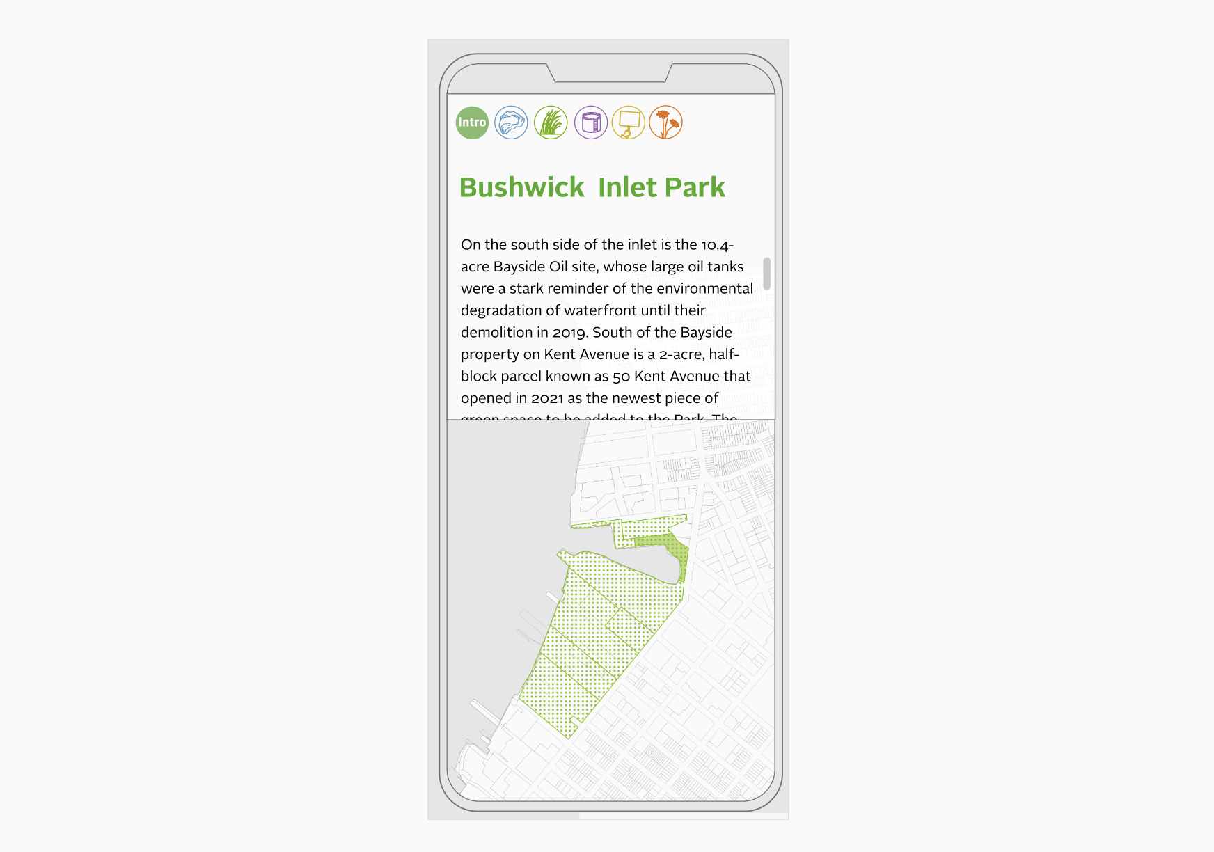
Friends of Bushwick Inlet Park
d3svelteqgis
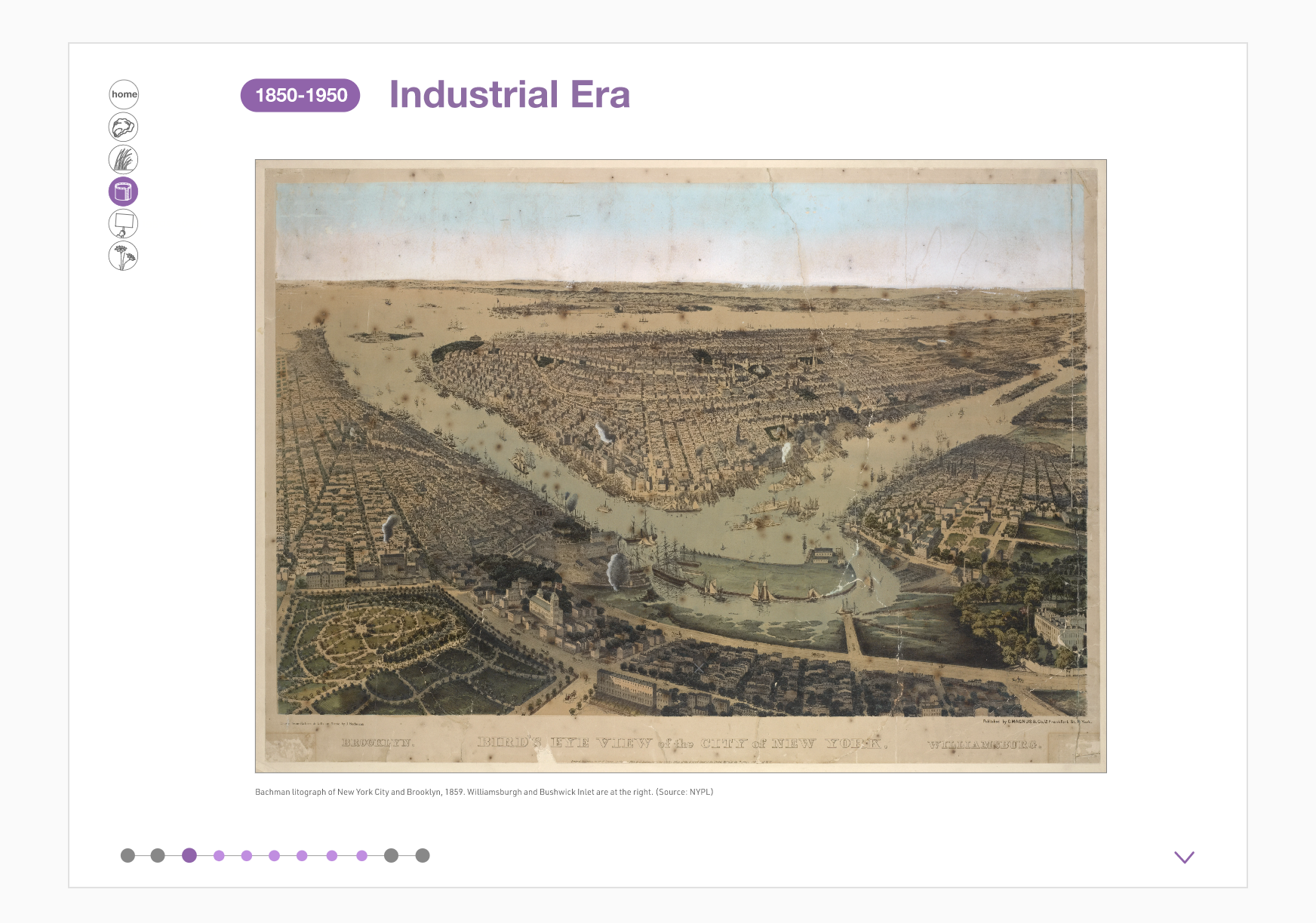
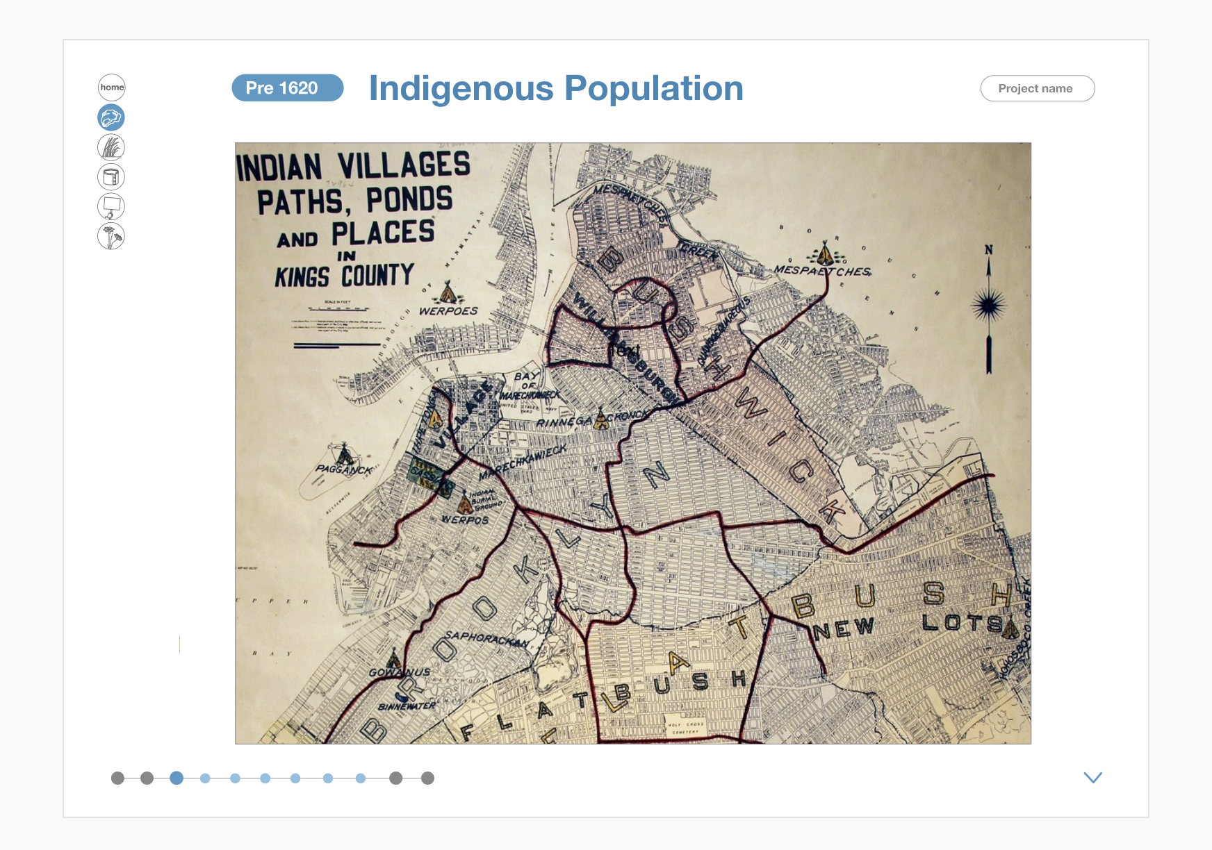
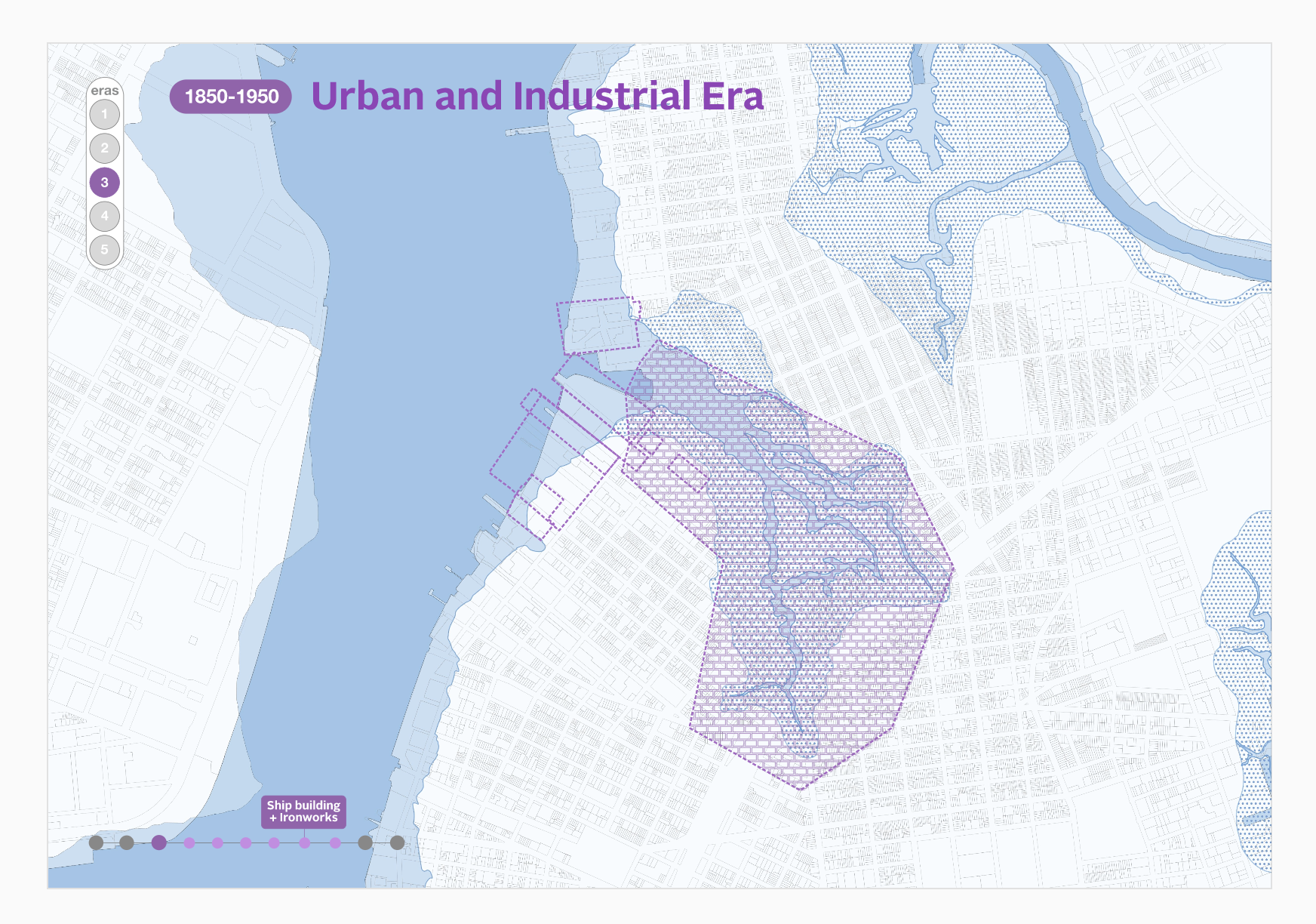
Friends of Bushwick Inlet Park through a new interactive digital map present an evolutionary history of how the salt-marsh environs of Bushwick Creek and the connecting East River shoreline expanse moved through periods of colonisation, industrialisation, post-industrial rezoning and into its current culminating phase, the incremental development of a 27-acre public waterfront park.
These periods of evolution shaped the inlet and the surrounding communities of Williamsburg and Greenpoint, and they continue to be reflected in development and stewardship of the park.
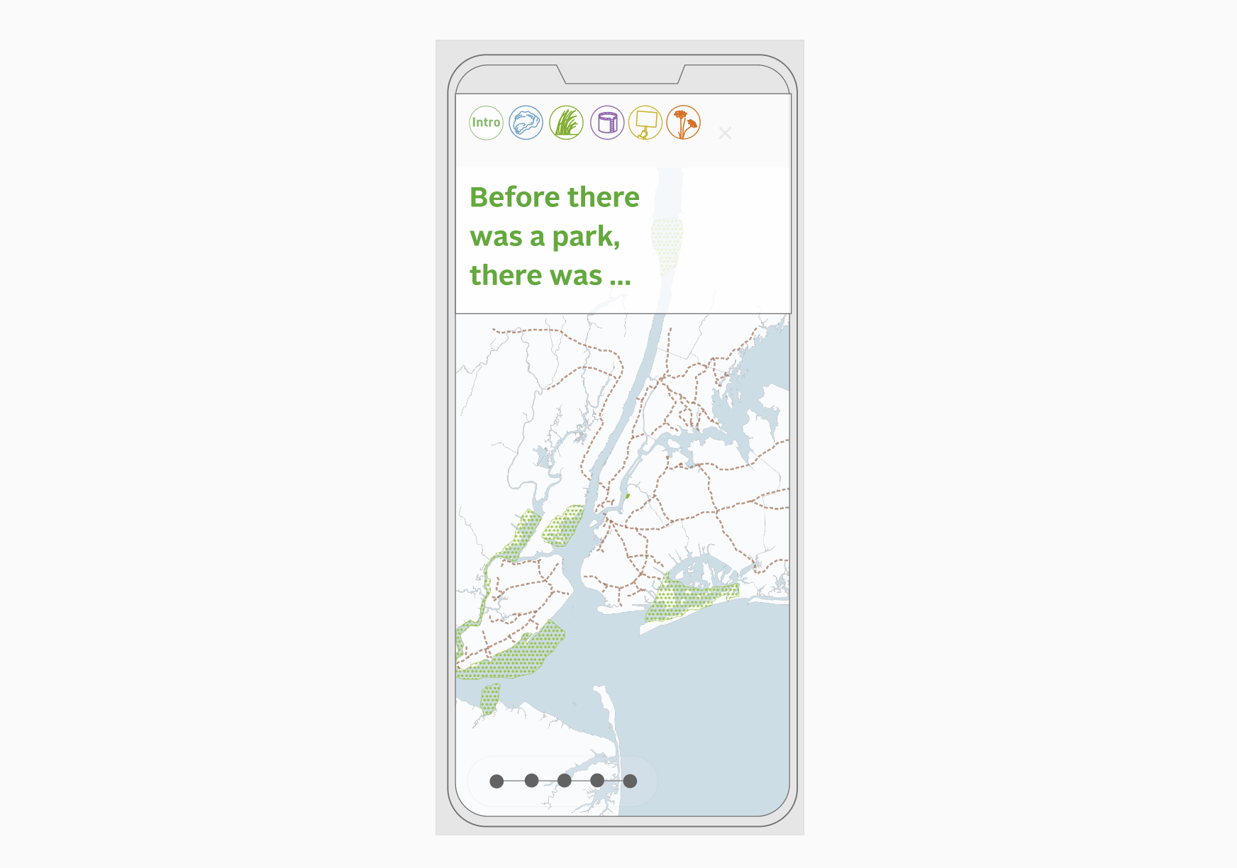
Themes such as public access to the waterfront, industrial contamination and the ongoing efforts to build the park, the loss of coastal wetlands and the impact that has on the resiliency of the neighbourhood but also on the goals of FBIP for the design of the northern portions of the park.
These three themes tie into FBIP’s work and advocacy: Public Access; Industrial Legacy; Resiliency.